DE BRANCHE EN BRANCHE

DÉPART
ALBIERES
ARRIVÉE
ALBIERES

Last update 23/08/2024

Description

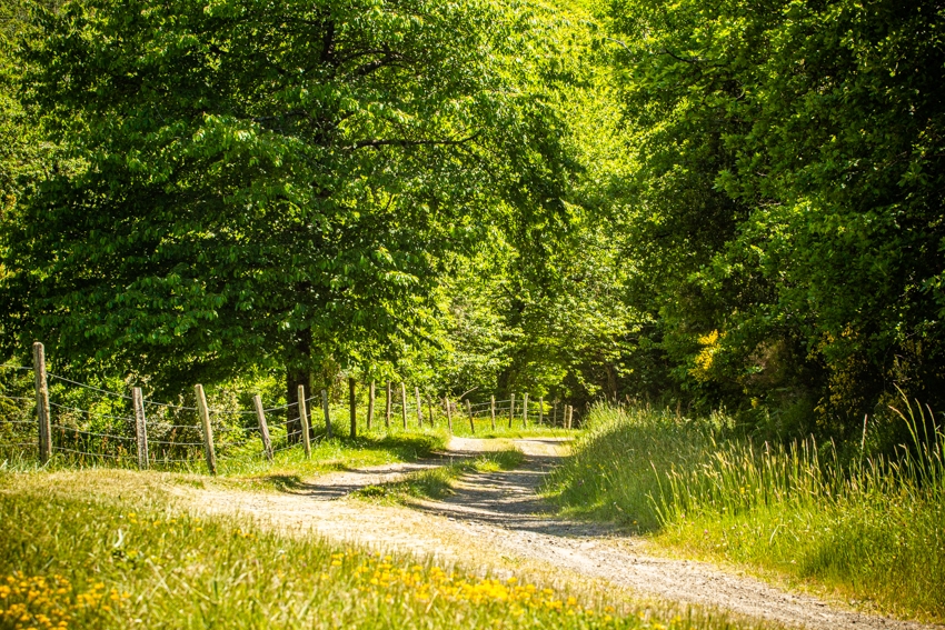
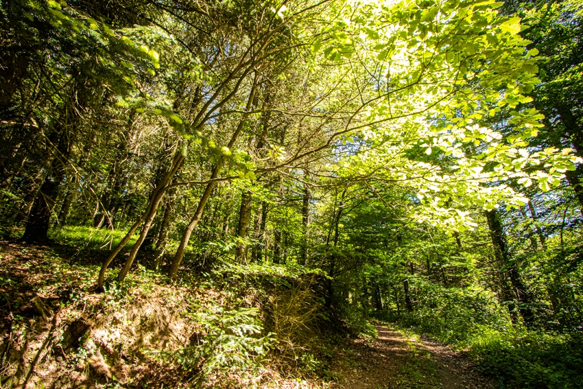
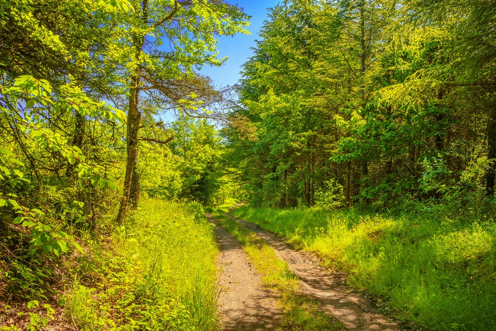
Albières, with its castrum, is a small village in the Mouthoumet massif.
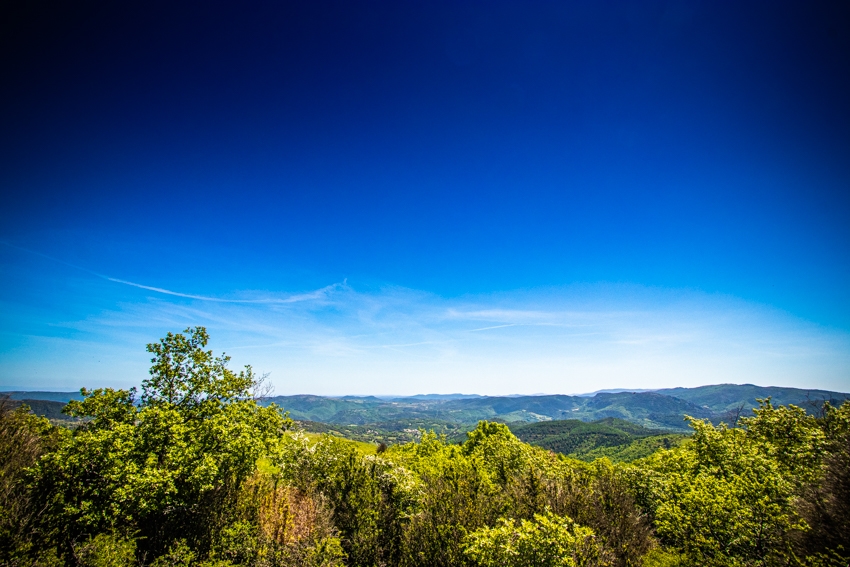
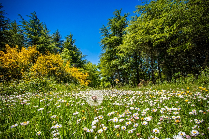
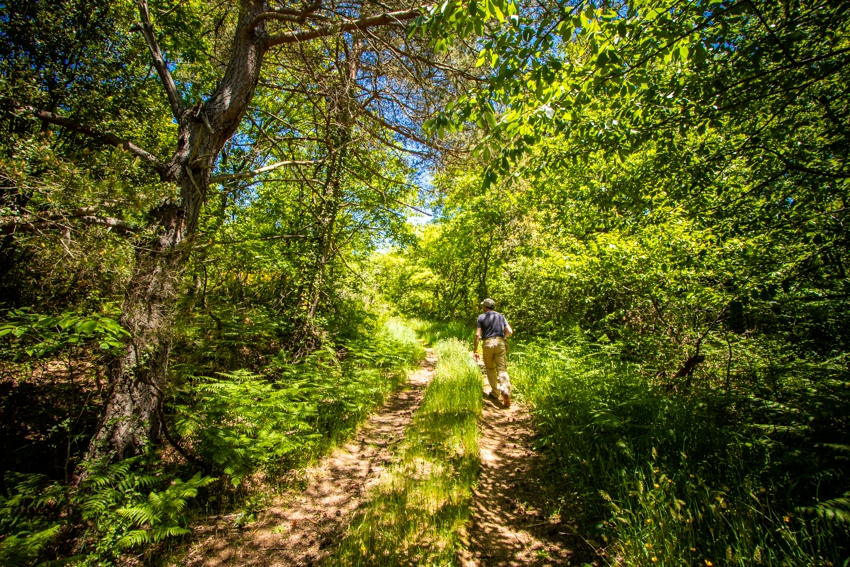
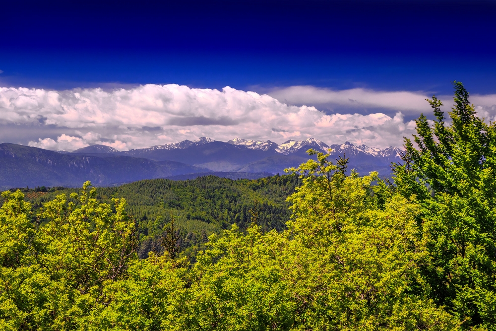
This little jaunt (“Petite vadrouille”) that will allow you to take in the different essences of the forest climbs all the way up from the Col du Paradis to the watchtower of the Pech where you’ll enjoy a broad panoramic view on the Corbières.

Albieres_cr_C_Deschamps-PTCM (7)Albieres_cr_C_Deschamps-PTCM (1)Albieres_cr_C_Deschamps-PTCM (2)Albieres_cr_C_Deschamps-PTCM (3)Albieres_cr_C_Deschamps-PTCM (8)Albieres_cr_G_Deschamps-PTCM (15)Albieres_cr_G_Deschamps-PTCM (18)Corbières Minervois- ALBIERES- de branche en Branche-pipit rousseline - Robin

Fiche technique

dsio.detail.titles.depart

JUMPING FROM BRANCH TO BRANCH
11330 ALBIERES

dsio.detail.etapes

1

2

3

4

5

6

7

Cairn (1) At the edge of the village, you’ll walk past the sand quarry from which a lovely yellow sand is extracted.
Cairn (2) On the south slope, the forest is made up of Scots pine trees with their orange-coloured bark, the Corsican Laricio pines with their supple needles and the Austrian pine (pinus nigra).
Cairn (3) Here you’ll notice the plots of land near the edge of the forest where animals once were at pasture, now lying fallow and being taken over by bushes and shrubs.
Cairn (4) Both the Col du Ramier and the Col du Paradis mark the frontier between the two slopes leading to the Aude and Orbieu rivers.
Cairn (5) The presence of a clay depression maintains the soil in a quasi-permanent state of dampness. This is one of the favourite spots of the highly reserved salamander. This amphibian can live up to 20 years. There are also some poplar trees, goat willows and birches.
Cairn (6) After a severe hailstorm hit the region in 1998, a huge number of pine trees were severely damaged which rapidly led to their being infested by a microscopic type of fungus. 300 ha were decimated and 80 ha had to undergo clearcutting urgently. At the end of January 2006, after a freezing rain, beech trees and conifers were pollarded and uprooted. More than 2000 m3 of windthrown trees had to be hauled. The Col du Paradis and the Col du Ramier were hit the hardest. Clearcutting was once again on the agenda. The broad-leaved trees grow back naturally quite quickly, but another thirty years will pass before the Col du Paradis returns to the state it was in in 2005.
Cairn (7) You are now in the Rialsesse wood, the ‘King’s Wood’, stretching out over 250 ha.
Cairn (8) This is the Estagnol forester’s house. You’ll notice a stele dedicated to Théodore Rousseau, a 19th century Forestry Commissioner.
Cairn (9) From where you are now, you can see the Arques valley with its donjon.
Cairn (10) The highest point of the hike (820 m). During periods of high fire hazard, the lookout tower is permanently manned.
Cairn (11) Here’s a beautiful chestnut tree alley. An absolute multi-purpose tree: used in basketry as well as in the manufacturing of wine stakes.
Cairn (12) These days, beef cattle breeding has replaced the sheep pasture tradition of old.
Cairn (13) Some stones scattered round on this site will draw your attention to the former presence of a Romanesque church dedicated to St Just. This church was here long before the 12th century, in the centre of a hamlet carrying the same name: the original village of Albières.
Cairn (14) In this small valley, you are surrounded by willows, wild fruit trees, ash trees and hazelnut trees on your way back to the village.
Additional information
The Albières castrum
The name “Albières” has a Latin origin (Alba), meaning “white” or, even more likely, referring to the Occitan “alba”, the area where the white poplar tree used to grow. The castrum is a military defensive architectural construction typical for the Middle-Ages. It was built in the 12th century on the initiative of the archbishop of Narbonne and the vestiges that can be seen today were in fact the walls of the ancient village of Albières. The village as it exists today was not constructed until the second half of the 17th century. The castle controlled the different roads which went from Fenouillèdes to Razès and from Narbonne to Arques via Mouthoumet. If you wish to go there, take the rue du Château which leads to the ancient fortress (13th century). This has the shape of a pentagon and covers a little less than half of the entire medieval site. It seems it may have been surrounded by a moat and had a four-sided donjon of which some traces can still be seen on the ground. These days, it is private property, has been turned into a shed and is not open to visitors.
(1) On your left, by means of a steep path, you can reach the walls of the castrum, the oldest of all constructions, the area where village life took place in the 12th century. It stretches out on a rocky spur above the stream “Le Carla” and “Coume Douzilière” over a surface of about 7000 m2.
Before you arises an 8 m high rampart still showing the vestiges of an entrance. You can still see the hole where the locking bar used to glide into. The loopholes point towards the entrance in order to defend the access to the village. The ridge of the rampart was levelled and equipped with a defensive wooden gallery. Holes in which beams and corbels were fitted are indicative of its former presence on the inner side of the wall. Turning away from the rampart, you’ll take a path going down north, probably one of the streets of the ancient village of which no real trace can be seen. The path is lined with dry-stone terraced walls built in later times. (2) The major part of the surrounding wall was demolished in 1858 and used for the construction of the departmental road D613. Vestiges of the primitive surrounding wall can be found overlooking the precipice. On the other side there is a slope covered with a dark and thick wood: “Le Batut”, which was reserved for the Seigneur d’Auriac. Going uphill to the right, you’ll walk along a supporting wall dating back to the 17th century before arriving at a huge rock split in two in which traces of wedges, used by the quarrymen to split stones in those days, can still be seen.
(3) In front, a high wall which contains the main entrance to the castle. The foundations have been demolished, and filled up again later on. Access was provided via a removable inclined plane on the side.
Some engravings are still clearly apparent in the stone of the entrance. There is a person wearing a mitre and a decorated robe raising his arms. His face can be seen both face on and in profile, which explains the peculiar portrayal of the eyes. This may be a representation of the archbishop of Narbonne. Go back to the village.

1

Sortir du village par la D 129. Suivre la D 613 à droite sur 1 km et le chemin de Bagnocos à droite sur 500 m (sablière d’où l’on tire un joli sable jaune cairn 1).

2

Monter le chemin à droite dans la forêt constituée de Pin Sylvestre à écorce orangée, de Pin Laricio de Corse à aiguilles souples et de Pin Noir d’Autriche. (cairn 2). Emprunter la route
à gauche. À la patte d’oie, gravir le chemin en face sur 450 m dans une zone « d’enfrichement » d’anciennes pâtures où buissons et arbustes colonisent l’espace abandonné par les animaux. (cairn 3).

3

Prendre le sentier à droite, gagner les bois et atteindre le col du Ramier (les cols du Ramier et du Paradis séparent les versants de l’Aude et de l’Orbieu, cairn 4).

4

Suivre le chemin à gauche, la piste à gauche (une dépression argileuse maintient le sol humide, cher à la salamandre. Peupliers, saules Marsault et bouleaux occupent l’espace; cairn 5) et, au col
du Paradis (de nombreux pins ont été abattus pour enrayer la propagation d’un champignon dévastateur, cairn 6), la D 613 à droite sur 50 m.

5

Par le chemin à gauche, entrer dans la forêt du Rialsesse, forêt du
Roi (cairn 7). Continuer à droite, passer la maison forestière de l’Estagnol
(Une stèle dédiée à Théodore Rousseau, conservateur des Eaux et Forêts y est
apposée. cairn 8) et prendre le sentier à gauche pour retrouver la piste. À la
fourche, emprunter le chemin de gauche, à flanc, et gagner un carrefour
(vue sur la vallée d’Arques et le donjon, cairn 9).

6

Prendre la piste à gauche sur 130 m, puis le chemin à gauche. Il conduit à la vigie incendie (point culminant du sentier (820 m) cairn 10) . Revenir et reprendre la piste à gauche sur 600 m. Emprunter le sentier à gauche, puis le chemin à droite entre les châtaigniers (arbre à tout faire : vannerie mais aussi piquets de vigne cairn 11). Laisser la ferme à droite ( l’élevage des vaches à viande supplante celui traditionnel des brebis. cairn 12) et continuer
en crête sur 700 m. Suivre la piste à gauche (emplacement d’une ancienne église romane (St Just, antérieure au XIIème siècle, entourée d’un hameau du même nom : le village primitif d’Albières. cairn 13).

7

Descendre par la piste à gauche, prendre la route à droite ( fond de vallon peuplé de saules, fruitiers sauvages, frênes, noisetiers cairn 14) puis la D 613 à droite et rejoindre Albières.

Nearby