Description
Cultural
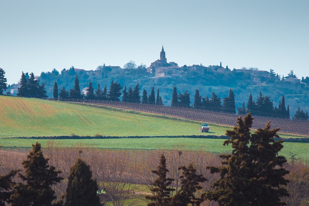
Follow the path once taken by Saint Dominic to reach the first monastery he founded in Prouille. Winding through the hills, the route reveals the wine-growing village of Lasserre-de-Prouille, a small ‘circulade’ with a remarkable heritage.
A shortened version of the long route from Fanjeaux to Montréal (30 km) on the GR® 78, the Piedmont route of the legendary pilgrimage to Santiago de Compostela.
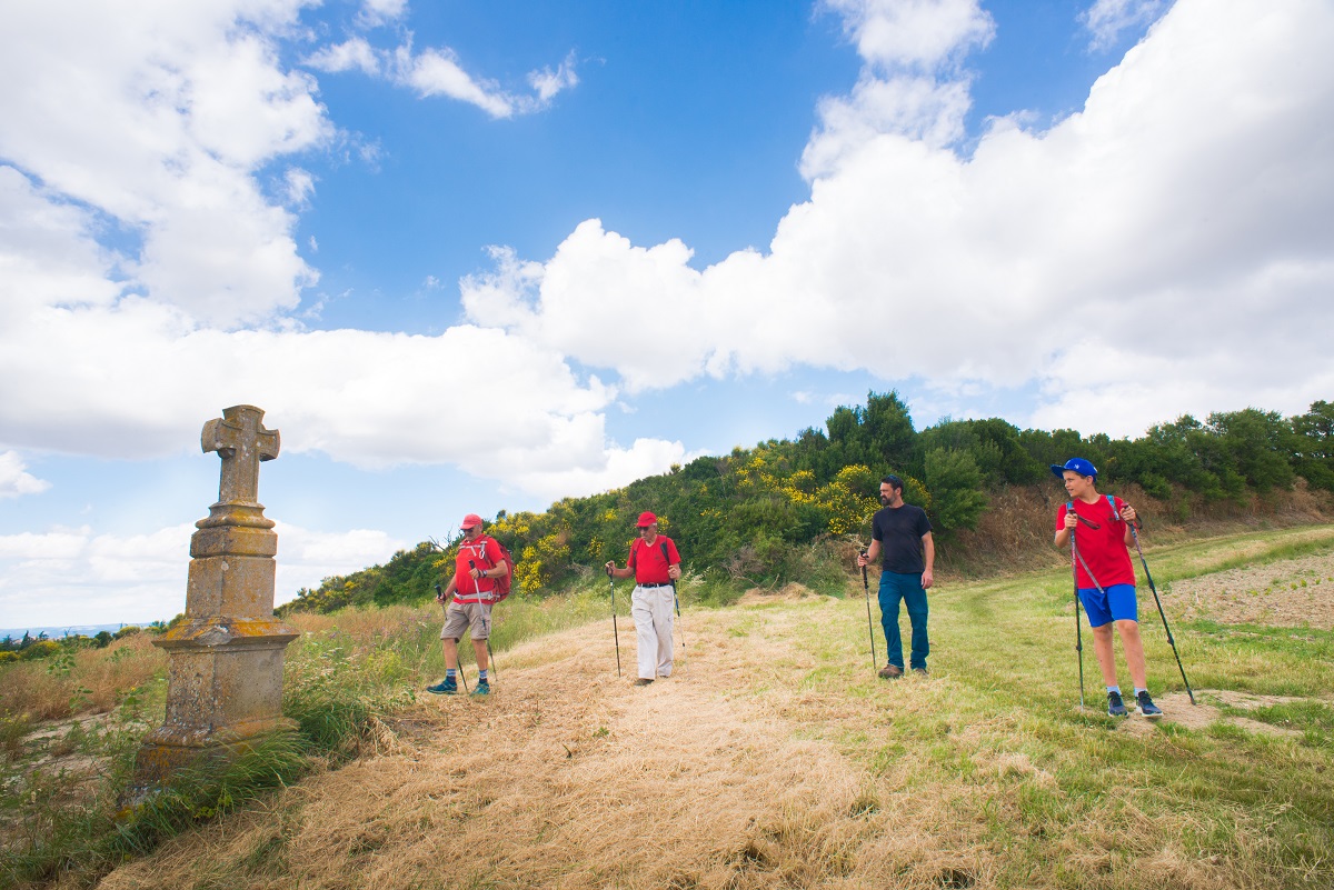
Follow the yellow markings and the white and red GR78 markings.
Technical sheet
Start
PLACE DU TREIL
Parking devant l’office de tourisme intercommunal
11270 FANJEAUX
Circuit stages
With your back to the Tourist Office, turn left and walk past the café. At the crossroads with the bridge, go straight on along the Rue de la Calinière. After the last house at the foot of the hill, take the narrow path down to the right. Turn left at the gardens.
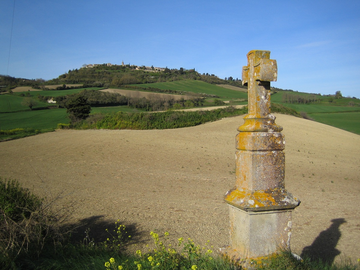
Take the road down to the right. Just before the D802, turn left and go straight down into the countryside. At the four-way crossroads, go straight ahead and at the fork, bear right to pass the Croix du Sicaire.
At the end of the lane, follow the road to the left, then at the junction with the other road leading up to Fanjeaux (RD119), cross over to change sides (watch out for traffic). Walk along the right-hand side of the carriageway towards the roundabout, which you turn right at to exit towards Montréal (watch out for traffic): take the RD119 for approximately 200 m.
Turn right off the D119 towards Saint-Dominique. After 300 m, turn left towards Monplaisir, then straight on towards Blanchard: the small road dead-ends at this point and offers fine views of the Blanchard reservoir.
At the Blanchard farm, take the track on the right and then go straight up the grass track. At the top, take the small road to the left. After about 700 m, turn left.
Turn left again onto a dirt track leading to a wood. At the end of the wood, fork left: you will see the Blanchard reservoir from above before descending into the vineyards.
At the bottom, turn right onto the gravel track for 200 m, then left onto the road lined with plane trees.
Cross the D626 (watch out for traffic), then the lorry manoeuvring area, and take the path between the trees. In front of the farm, take the path on the right that runs alongside the Ruisseau de la Fontvieille. After 300 m, past the vines and at the small pond, turn left onto the grassy track and then left again about 60 m further on.
Turn right onto the gravel path and follow the alternative route (signposted) to the Chemin de Saint-Dominique. The left-hand path joins Montréal for the full 30 km route. Pass through the Saint-Étienne farm to reach the Lasserre-de-Prouille cemetery.
Turn right towards the village. Cross the D623, go up the Grand Rue alongside the winery and enter the village via the Place de la Poste.
Go up towards the medieval gate and inside the circulade, turn left then left again at the church, Rue Saint-Étienne. Back in the Grand Rue, turn right into Rue du Presbytère and then left into Rue du Marin. At the bottom of Rue Notre Dame, turn right and follow the small road straight ahead (Chemin de Brezilhac).
After about 1 km and after the bend to the left (ignore the first paths to the right), turn right onto the GR®78 and follow the route of the Santiago de Compostela pilgrims as far as Fanjeaux. Climb the wooded pech.
After the gentle descent, turn left and enjoy the view towards Fanjeaux. At the next crossroads, turn right twice to keep Fanjeaux in your sights and head down towards Saint-Martin.
At the end of the track, follow the small road to the left, then take the D119 to the left for 100 m. Finally, take the first track on the left.
At the top, follow the small road to the right which takes you back to the village of Fanjeaux via the Chemin du Moulin, the bridge and the Place du Treil, the starting point for the walk.