NOTRE DAME DU CARLA

Start
LAGRASSE
Finish
LAGRASSE

Last update 18/02/2025

Description

Cultural

Leave the road leading to the abbey, near the calvary.
Look for the legendary footprint of Charlemagne’s buttocks and enjoy a few moments of peace and quiet near the chapel.

GR36LagrasseBD©CDeschamps-PTCM (6)GR36LagrasseBD©CDeschamps-PTCM (18)GR36LagrasseBD©CDeschamps-PTCM (11)GR36LagrasseBD©CDeschamps-PTCM (7)

Technical sheet

Start

INTERSECTION OF D5 AND D41
11220 LAGRASSE

Circuit stages

1

2

3

4

5

6

7

1

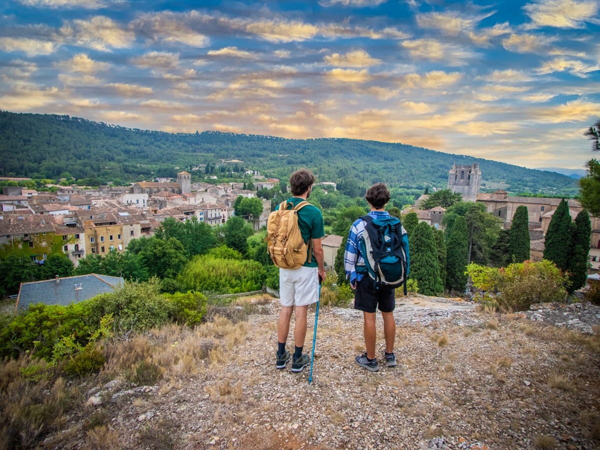
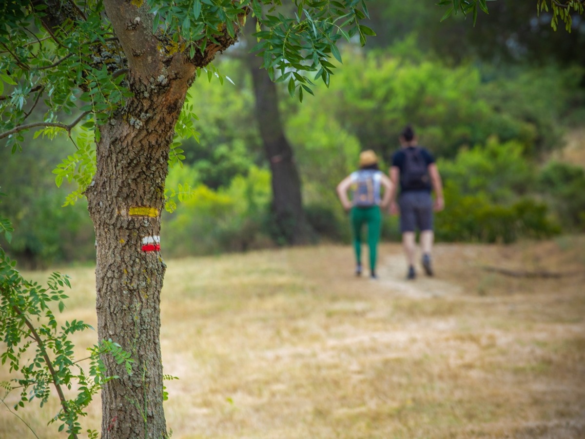
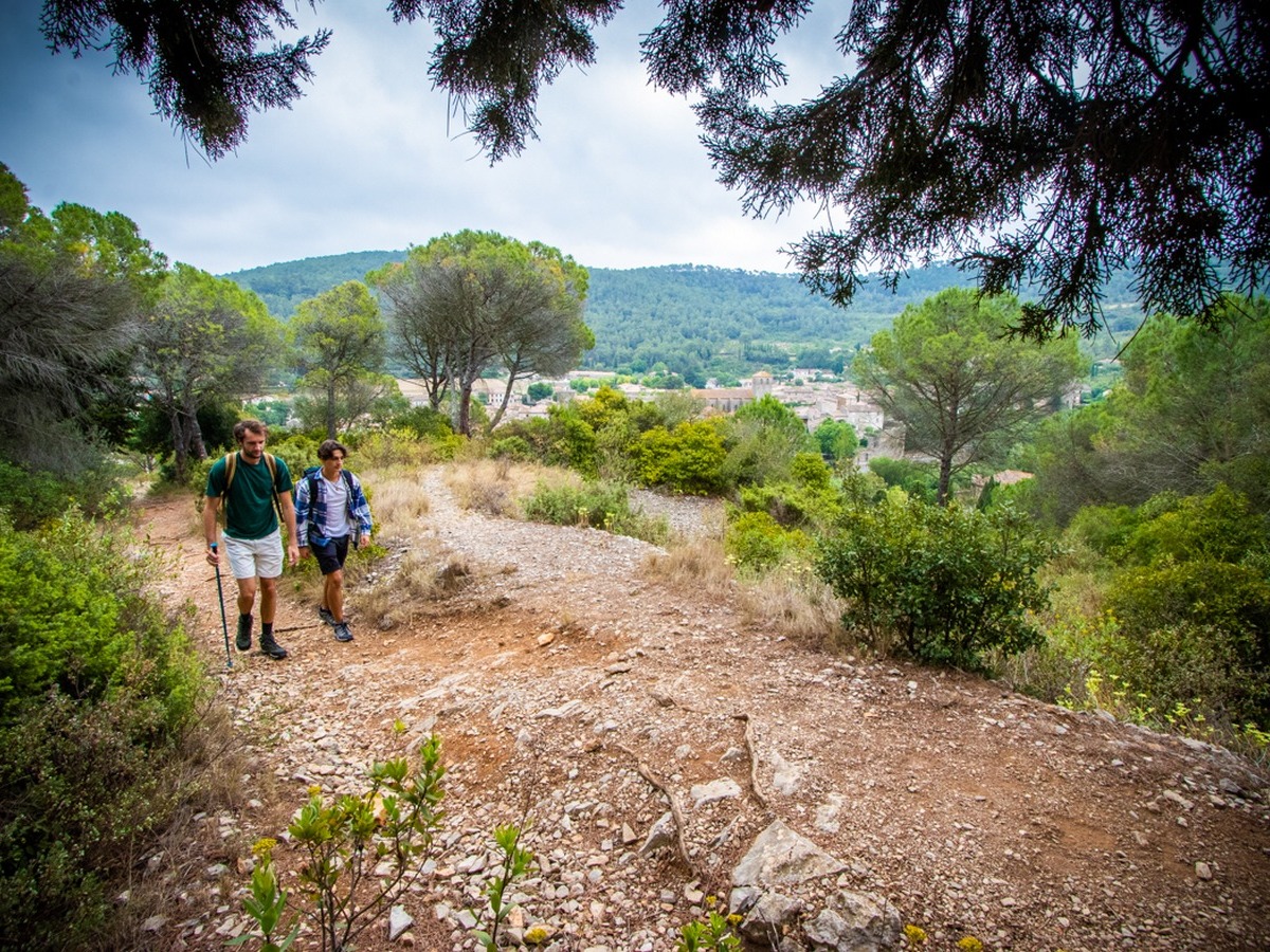
Take the red/white signposted path to the left of a calvary sheltered under a pine tree. Climb above the village. You will come close to the cliff at the level of a lone gable pine overlooking the cemetery. A remarkable view of the village. The path then enters a wood of pinion, Aleppo and cypress pines. Shortly afterwards, walk along the northern edge before reaching a stony depression: Charlemagne’s buttocks.

2

Climb up the stony path then reach a flat area. You will then come across a collapsed capitelle and a large cairn. There is a view of the combe Payrol or combe du Chaudron, at the bottom of which winds the river Alsou. When you come to a track, turn left.

3

Reach the main forest road. You can then return to Lagrasse down this track. To continue the route, turn right onto the Lauza plateau, through the reforestation of the municipal forest (cedars and pinion pines). After about 250 m, turn right onto the track that joins the Alsou gorges. Continue along the track.

4

At the crow’s feet, take the path furthest to the right. Leave the red/white markings and follow the yellow markings across the plateau through holm oak and pine forest.

5

100 m after passing the reforestation, a cairn on the right indicates the start of a small path leading through the pine forest. You are on the slopes of Grand Bac. Ignore the fork to the left and plunge through the foliage of pines and oaks to reach a track.

6

A round trip to the right takes you to the chapel of Notre Dame du Carla. Don’t forget to climb up to the cross above the chapel before taking the track in the opposite direction. After 2 sharp bends (viewpoints), you’ll find the red/white markings on the track, which bends left to the east.

7

Then turn right and cross a pleasant cypress avenue. Pass a covered well before reaching the ruins of the Lauza forest house. View of the Corbières and the Pyrenees. Turn left onto the main track lined with cypress, cedar and pine trees. Ignore the side paths and at the crow’s feet, pick up the track from the outset, with a view of the Alaric mountains ahead. At the ‘Forêt communale de Lagrasse’ sign, follow the forest road down towards the village. Ignore the secondary roads. After passing a capitelle, the track bends to the left. There is a view of the village and abbey.
Walk along a few low walls and olive trees until you reach the tarmac road. Walk past the abbey to reach the village.

Nearby